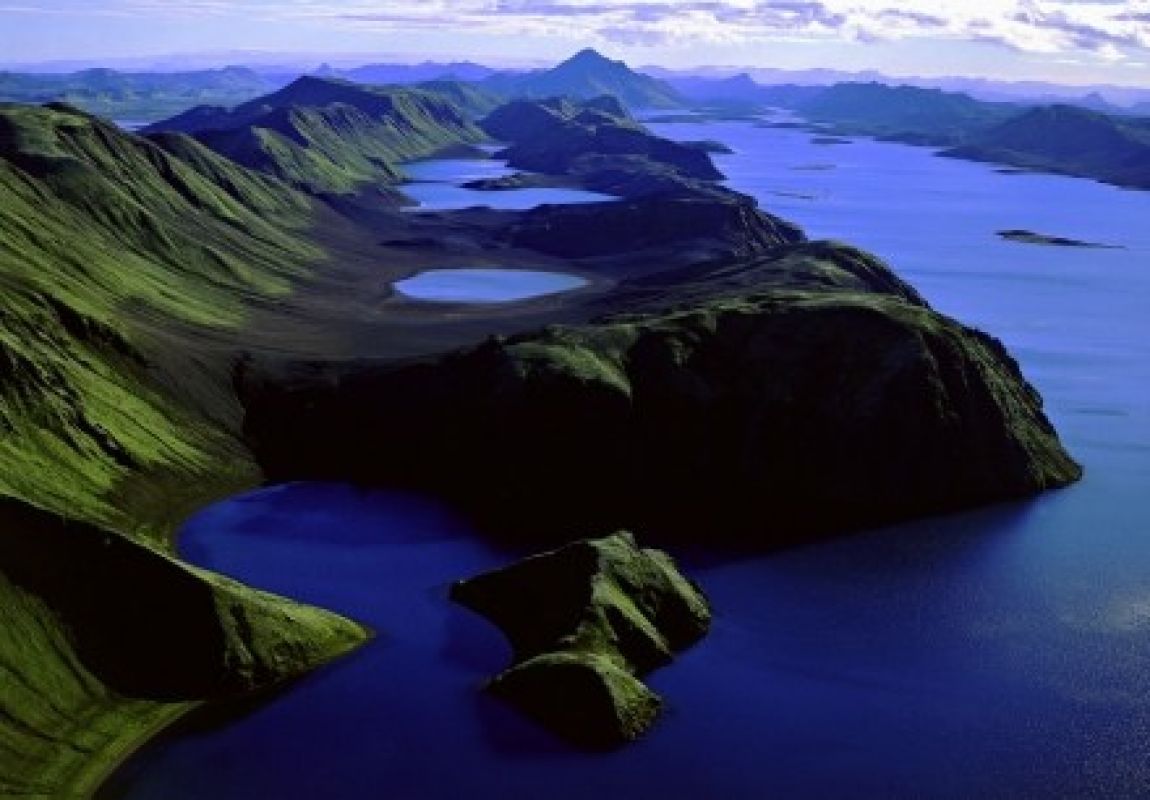
Langisjór – 94 km from Dalshöfði Guesthouse
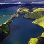
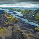
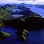
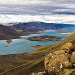
Langisjór is a lake that’s 20 km long and 2 km wide in some places. The lake is to the southwest of Vatnajökull, between the mountains Tungnárfjöll and Fögrufjöll, in a beautiful and picturesque landscape. Its square measure is 27 km², it reaches a depth of 75 m and the water surface is 670 m above sea level. The view of mountains at the lake is magnificent, to the south of Langisjór is Sveinstindur and to the east Fögrufjöll. The mountains reach Langisjór at many places with abrupt cliffs. The lake is among the purest mountain lakes in Iceland. There are many islands on the lake and the landscape is spectacular.
Langisjór’s outlet is through Útfall, around 3 km from the inner edges of the lake. There, it falls in a waterfall into Skaftá, which nourishes the vibrant lakes, rivers and marshes of Skaftárhreppur. The lake’s name (meaning Long Sea) comes from its length, 20 km, but its surroundings are shaped so that the lake can’t be seen until it is reached. Almost all of its surroundings are devoid of vegetation and no sources mention it before until the latter part of the 19th century. Langisjór is a precious natural treasure in Iceland’s highlands, with its unusual landscape in untouched wilderness.
Landsvirkjun, Iceland’s national electric company, had plans to convey Skaftá to Langisjór and use the water for hydropower stations in the area around Tungnár and Þjórsá. There were also plans to limit the amount of sediment carried by the river Skaftá, during its debacle, because it is thought to be a threat to Eldhraun. The debate over this was quite heated during the winter of 2005/2006. Apart from its beautiful landscape, Langisjór’s peculiarity lies in the fact that it’s a lake in between the tuff ridges that characterizes the area from Síðuafrétt in the south to the lake Þórisvatn in the north. This makes it truly unique. Plans to make Langisjór and its surrounding area a part of Vatnajökull National Park are in place.
